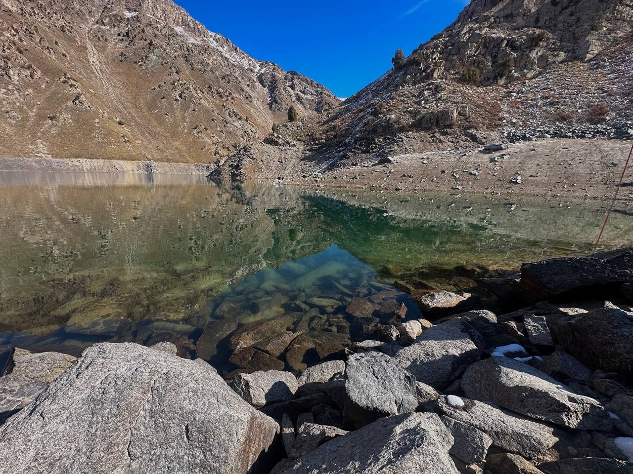
Shovurkul and Ikhnoch lakes (big, lower, and upper), located in the basins of the Oygaing and Pskem rivers in the Bostonlyk district of the Tashkent region, are considered at risk of dam failure.
In this area, the Hydrometeorological Service Agency under the Ministry of Ecology, Environmental Protection, and Climate Change, together with the Ministry of Emergency Situations and the State Committee for Geology, continuously monitors the condition of high-mountain lakes to prevent emergencies and timely alert the population.

For reference: Lake Ikhnoch, with a volume of 4.8 million cubic meters of water, is located at an altitude of 2508 meters above sea level. The lake's surface area is 0.33 square kilometers, with an average depth of 14.5 meters, a length of 1.5 kilometers, and an average width of 216 meters. Lower Ikhnoch Lake is situated at an altitude of 2460 meters above sea level and holds 900,000 cubic meters of water. The lake's surface area is 0.09 square kilometers, with an average depth of 10 meters, a length of 0.5 kilometers, and an average width of 170 meters. Shovurkul Lake is located at an altitude of 2750 meters above sea level and contains 3.8 million cubic meters of water. The lake's surface area is 0.40 square kilometers, with an average depth of 9.7 meters, a length of 1.4 kilometers, and an average width of 270 meters.
"This monitoring is carried out annually in several stages - preliminary observation (during the period of water accumulation in the lake in May-June), main observation (during the period of maximum water accumulation in the lake in July-August), and final observation (after the lake is drained in September-October)," said Kahramon Zokhidov, the head of the Hydrometeorological Observations Department.

It is worth noting that automatic water metering equipment based on German technology has been installed in the basins of the Maydantal and Oygaing rivers. This allows for constant monitoring of the water level in the rivers. In this area, the rivers converge and form one of the main rivers of the region - the Pskem River, which flows into the Charvak Reservoir. Therefore, it is important to constantly monitor the water volume in the Maydantal and Pskem rivers.